


Digging into the past
Words by Beth Pipe, The Cumbrian Rambler
Images by Steve Pipe
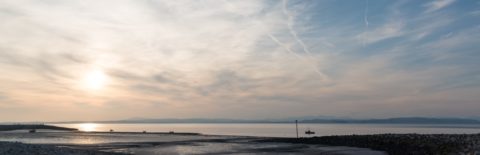
To misquote Douglas Adams: “The history of Morecambe Bay is terribly long and awfully difficult to understand, even in its simpler moments which are, roughly speaking, the beginning and the end.” I know we’re not at the end of Morecambe Bay just yet, but I can never resist an opportunity to sneak in a bit of Hitchhiker’s Guide to the Galaxy (from which Morecambe Bay was sadly missing).
Geologically speaking, much of the bay is around 320 million years old, having been formed beneath warm carboniferous seas. Some parts, notably out towards Ulverston and Barrow, are more recent and were laid down during the Triassic period, a mere 225 million years ago – give or take the odd millennia or two. Away to the north, Black Combe towers over the northern end of the bay and comes in at a whopping 480 million years old; it forms part of the Skiddaw Group which are amongst the oldest rocks in Cumbria.
Given timescales like that, man’s existence around the bay is little more than a heartbeat in fact, if you equate geological time to one hour on a clock, modern man would only exist for the final 8 tenths of a second. Despite that we have certainly managed to make our mark and, much of the activity of our ancestors was shaped by the geology of the area – mineral deposits, presence of rivers etc.

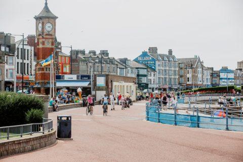
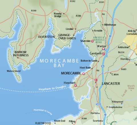
The name Morecambe Bay doesn’t appear on a map until 1774 but it’s likely the origin for the name comes from the astronomer Ptolemy who in AD150 wrote that there was a place called ‘Morikambe eischusis’ (curved bay or salt flats) on the North West coast of Britain. There was some disagreement at the time as to just where it related to, but in 1774 John Whitaker produced a map with the words Morecambe Bay on it and it’s been there ever since.
There are currently several projects underway exploring the history of the bay and trying to discover what our ancestors got up to. Some are fascinating projects which we can all watch evolve online whereas others offer us the opportunity to get involved and help make our own discoveries.
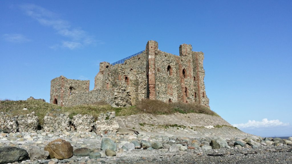
Chapel Island
Chapel Island lies just off the coast near Ulverston. Predictably, it takes its name from the chapel on the island, although the ruins of the chapel that are there today are the remains of a folly from the early 19th century.
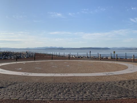
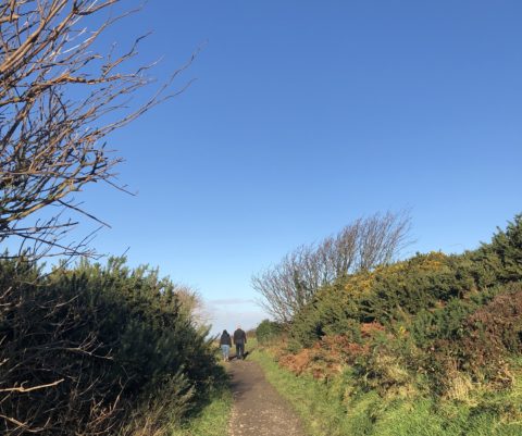
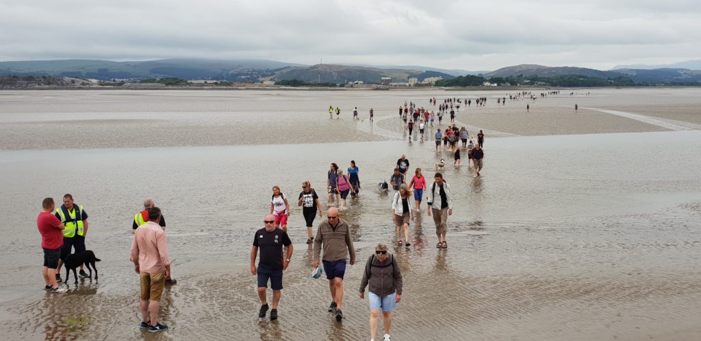
Back in the times before road and rail transport made getting from A to B fairly straightforward, the most obvious way to get around Morecambe Bay was across the sands. Imagine you’re looking at a map of the bay back in the early 1800s and wanted to get from Cark to Ulverston; it would make a lot more sense to set off across the bay than to walk all the way up and around via Greenodd. Back then people would have been much more in tune with the tides and the sands than we are today and “safe” routes across the sands would be known, well trodden and possibly marked in some way. Of course people would still get caught out and places like Chapel Island would have provided a refuge for those getting their timings wrong.
The sands of Morecambe Bay are notoriously treacherous and the only safe way to explore is with a properly guided walk. This walk will be led by the Queen’s Guide to the Sands, so you’ll be in very safe hands.
Piel Island
Piel Island has a unique and endlessly fascinating history and although you can get there all year round by boat, a guided walk gives a real feel for how our ancestors would have approached it.
The history of the island is woven around the monks of Furness Abbey; the island had one of the deepest natural harbours in the area and the monks made good use of it for trading around the coast. You’ll also discover the fascinating history of the King of Piel Island, and have a chance to explore the unusual history cabinet in the Ship Inn.
Birkrigg Common
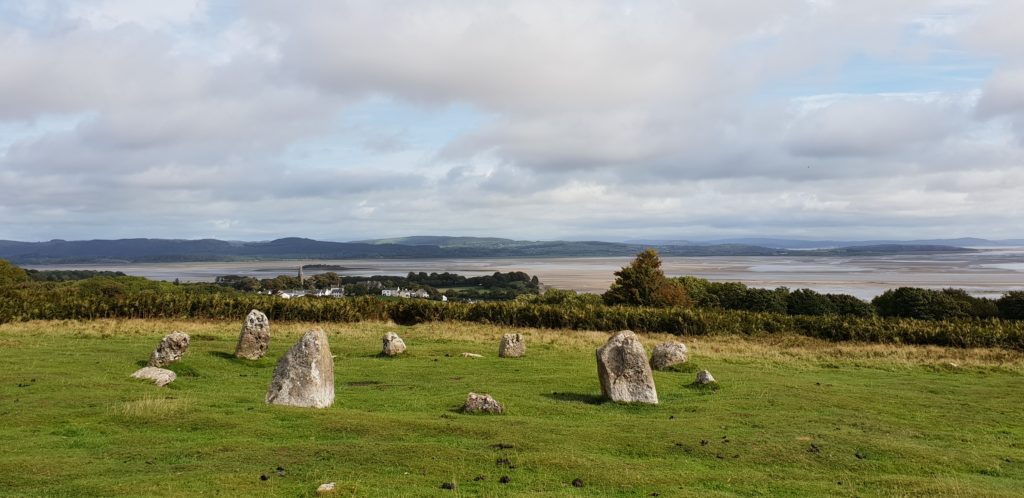
One of the regular “bracken bashing” conservation days will take place on Birkrigg on 13th September. This may sound more like weeding than history but it was the cutting back of bracken which helped to unearth the second stone circle on the common, meaning that it is one of only 30 concentric stone circles in the country, and the only one in Cumbria – so who knows what you could discover this time?
If all of that sounds a bit energetic then Morecambe Bay Partnership also have opportunities for everyone to get involved in a number of different and exciting projects:
Fisherman’s Tales is an ongoing project gathering eye witness accounts of the history of fishing around the bay. The numbers of people who are still around to give us firsthand accounts of old fishing activities are sadly dwindling, so it’s vital that we capture whatever precious recordings we can, while we can.
There are also several other history and archaeology projects looking for volunteers to get involved, from detective work at Jenny Brown’s Point to recording and preserving the Iron Age hillfort on Warton Crag. In all cases full training will be given and some of the research could even be carried out at home. Full details of all the projects, and how you can get involved, can be found here.
And if this has given you a taste for the bay’s history and heritage, don’t miss Heritage Open Days, England’s biggest festival of heritage and culture. Venues across Lancaster and Morecambe Bay will throw open their doors for free, inviting you to come and discover hidden places, peek behind the scenes and try out new experiences! Find out more here.